


09-20-2017, 11:52 PM
|
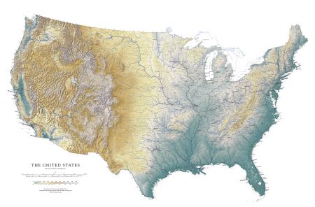
Are you a paper map geek?
|
|
09-21-2017, 12:44 AM
Not cheap but a little easier on your budget, a Raven Map has been on my wish list for quite a while.
northern california coast
09-21-2017, 12:54 AM
I love maps and there are nice ones at reasonable prices. Unfortunately (or fortunately?) none that I want.
09-21-2017, 01:29 AM
Not those kind but I do carry a road atlas when I travel.
09-21-2017, 01:53 AM
Until the lady in the phone got good with maps, I swore by Thomas Guides (Thomas Bros. Maps). Here in SoCal, especially in real estate related industries Thomas Guide map page and grid coordinates were SOP for decades, a couple of which I spent in the mortgage biz. Also always carried whatever USA road atlas Costco had, and refreshed it every couple of years, passing the old ones on to relatives. Exotic old maps like the ones linked are interesting as heck, but I don't think there's room in our portfolio to dabble.
==
09-21-2017, 02:37 AM
Must see this shop if I get to San Francisco again. I'm a hardcore map geek.
09-21-2017, 03:52 AM
Love old maps.
One of my favorites was hanging on the wall of the geology department of the universtiy where I worked. It wasn't old, maybe 1980s, a plastic sort of 3d topographical map of the Pacific Inland Northwest. Somebody had poured epoxy in all the low areas, showing the path of the Missoula Floods that took place between 13k and 15k years ago, when the ice dam that formed Lake Missoula broke several times, releasing water that carried house-sized boulders from Montana, down the Columbia Gorge past Portland to the Pacific Ocean.
09-21-2017, 05:05 AM
I love maps period..i appreciate the convenience of having a map in my phone and all but nothing replaces a real map..
09-21-2017, 05:39 AM
I love basic fold-up paper maps of each state. I would rather use them than my iPhone.
09-21-2017, 06:11 AM
I spend too much time at Old Maps Online.
http://www.oldmapsonline.org/ My wife scanned 40 plus pages of an aerial photo survey of the San Fernando Valley of 1952-54. On a side of a 55" tv box she overlapped the pages to make a complete picture of the valley. It shows the sources of water from the north, west, and south that feed the Los Angeles River. She then labeled the streets, creeks, washes and such. It's a big hit with historical groups the older crowd who grew up here as she did. |
|
« Next Oldest | Next Newest »
|

Users browsing this thread: 1 Guest(s)